Network Data
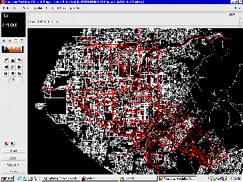
Orange County Network
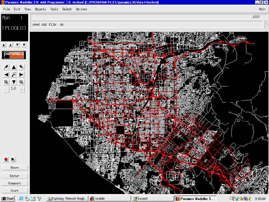
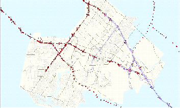
Orange County network covers several cities in Orange
County, California. Especially Anaheim is known as a event city where
where many event palces, such as Disney Land, Convention Center,
Angels Stadium, Ducks sports arena, etc., are located. The area
is approximately 30 mile by 30 mile.
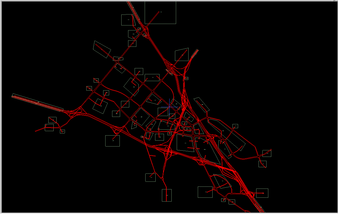
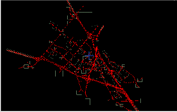
Irvine Golden Triangle
The Irvine Golden Triangle is a part of the Orange County Netpork
and is known as El Toro Y where Intersate freeway 5 and 405 are
merged. The high accuracy network includes detailed signal and ramp
control schemes as well as real time traffic data from freeway and
arterial loop detectors. The area is perfect place for the microscopic
model calibration and validation study thanks to availabilty of
the real-time traffic data and detailed network coding. The data
has been used for a field test in the FHWA's dynamic traffic assignment
project.
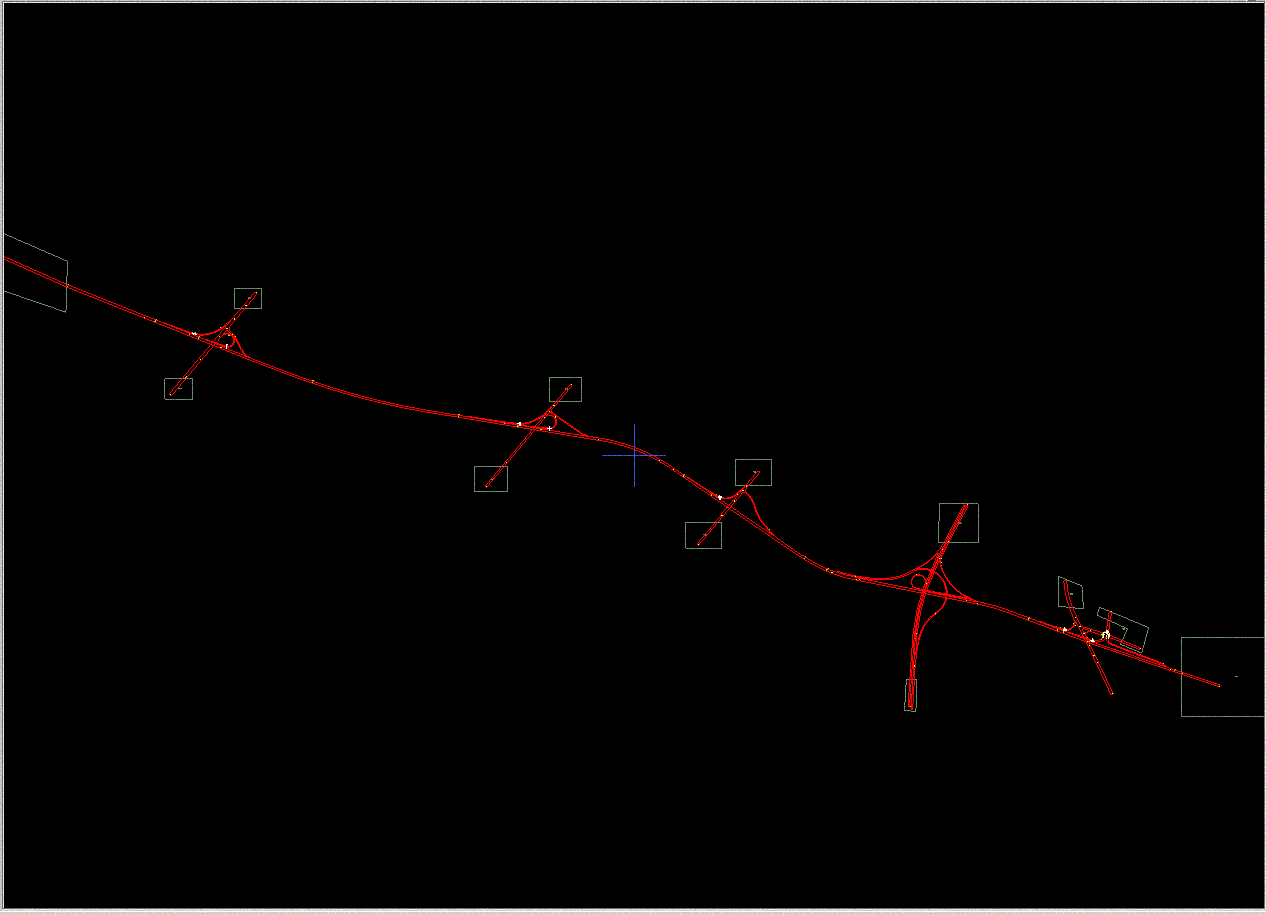
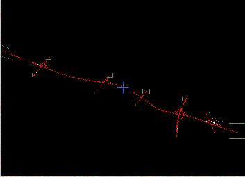
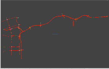
Interstate Freeway 405
A six-mile long I-405 section has been coded in very detail level
including detector locations as well as ramp metering plans. Within
the area a new detector testbed is under construction, so that various
surveillance systems (loop detectors, advanced loop detectors for
vehicle tracking, video image processing, etc) will also be incorporated
into the micro simulation. The site will be suitable not only for
traffic model calibration/validation but also for testing on-line
simulation model with real-time traffic measurements.
State Route 91
The SR-91 connecting Orange County and Riverside County is one
of the most congested routes in Southern California and has a unique
feature in its operation. A 10-mile long toll lane is running in
the middle of the freeway and a time varying toll scheme is applied
in order to reflect traffic condition. The route has been used as
a site for driver depature time and route choice behavior studies.
Traffic Data Sets
Histroic and Real-time Traffic Data
UCI/ITS collects real-time and histroic traffic data from various
traffic data sources including Caltrans District 12, City
of Irvine and City of Anaheim. Historical freeway data are acquired
via webpage and/or CORBA proxy through ITS firewall, and real-time
freeway data are available on the Testbed lab PTL network
via a CORBA interface.
- Freeway Loop Detector Data from Caltrans District
12
- Loop Detector Data from City of Irvine and City
of Anaheim
Real-time Vehicle Tracking (TRACER)
UCI-Testbed receives and transmits GPS data via web-based CDPD
2-way wireless communication.
PC 104 Pentium Processor, Linux OS, Compact flash RAM
12-channel Garmin GPS 35 TracPak
Vibration sensor for auto on/off
OpenMap GIS Analysis and Display
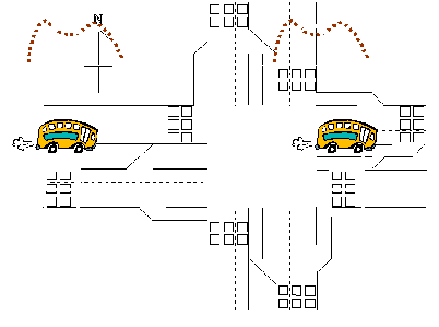
Arterial Vehicle Reidenfitication via Vehicle
Signtaure Matching
A vehicle reidentification technoloy is used for arterial network
performance measure. The vehicle signature-based vehicle reidentification
and tracking methodology is capable of measureing intersection delay
in real-time and tracing vehicles.
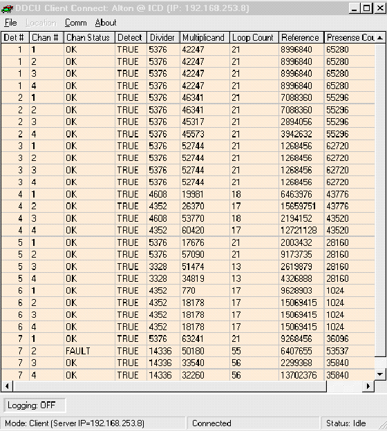
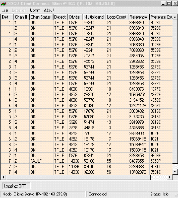
Real-time Arterial Data (City of Irvine)
Traffic data transmitted over IP network between UCI/ITS and the
City of Irvine are stored on a dedicated machine at UCI/ITS.
Currently the real-time data are available at the following three
intersections: Alton@Technology Way, Alton@Irvine Center Drive,
and Alton@Gateway. Traffic count data are collected from the Sarasota
detector devices across the serial interface between the PC and
the detector. The real-time arterial data collection system is expanding
to 22 intersections along Alton & Irvine Center Drive.
Detector Testbed at I-405
OVERHEAD MOUNTS
- "Ground Truth" video cameras over each lane
- Connected to a bank of VCRs & to an automated Video
- Image Capture and re-identification system
- Laser Detectors (future)
SIDE MOUNTS
- OMRON Vision Sensor detector
- Remote Traffic Microwave Sensor (RTMS) radar sensor detector
- Pan-Tilt-Zoom (PTZ) Webcam
- Spread spectrum Radios (SSR).
IN-PAVEMENT
- Double loops in all traffic lanes
- Blade (future)
|